 For iPhone
Reads Apple Health
Mexico to CanadaHike 2650
Your real walking moves you along the Pacific Crest Trail. One real mile is one trail mile, on a map made to look like a park poster.
 For iPhone
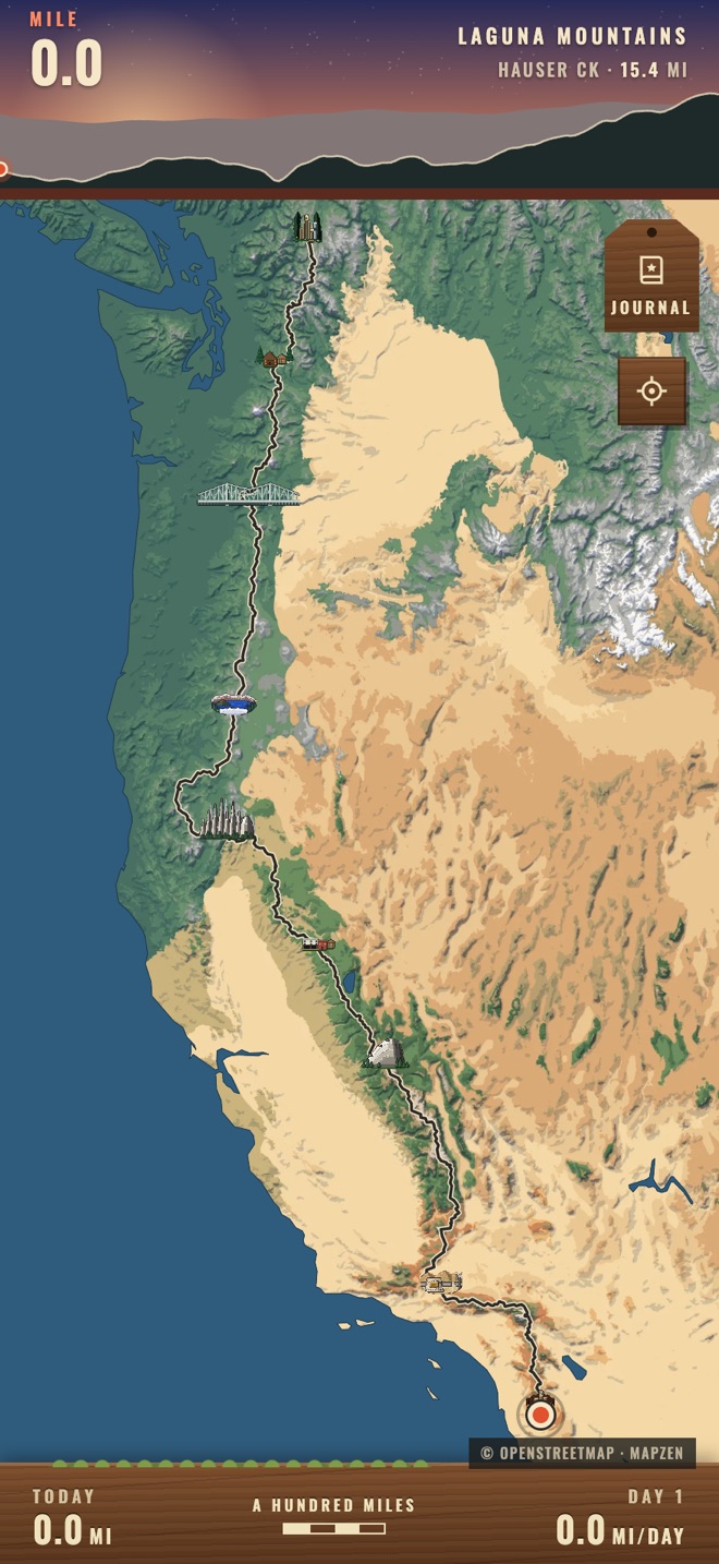
Your real walking moves you along the Pacific Crest Trail. One real mile is one trail mile, on a map made to look like a park poster.
You walk your normal day. The app reads the distance from Apple Health and the marker does the rest.
To work, round the block, on a treadmill. Your iPhone or Apple Watch already counts the distance.
Open the app and your miles carry you up the trail on their own, stopping at each real place you reach.
Campo to the Canadian border. At five miles a day it takes about a year and a half, like the real thing.
Desert, Sierra and Cascades each get their own colours. The map lives inside the app, so it works with no signal.
The whole trail is ahead of you, with the next place and its distance at the top of the screen.
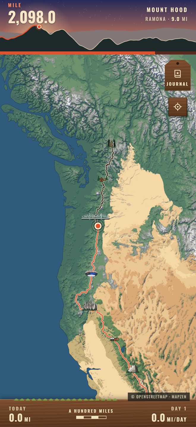
Every mile you've walked turns orange. The ridge at the top shows the climb you're on.
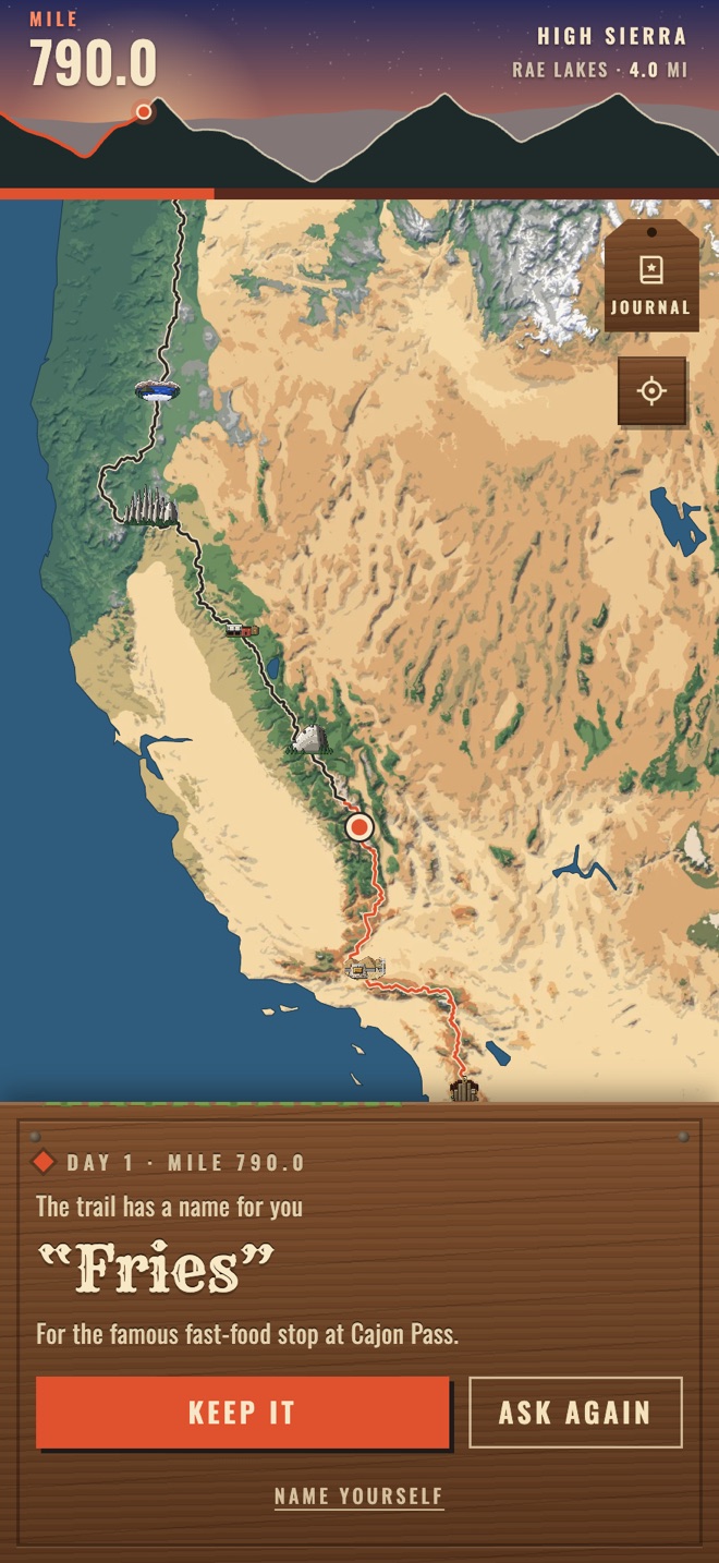
Hikers earn trail names. Yours turns up along the way, and you can keep it or ask again.
Hike 2650 has no server to send anything to.
No. Any walking or running your iPhone or Apple Watch records counts. The app turns it into trail miles.
Yes. The app asks which way you're walking when you start, and you can turn around later without losing your miles.
Yes. A home-screen and lock-screen widget shows your mile and the next place. You can also get an alert when you arrive somewhere.
They share a trail. 2650 is a pixel-art game with camp and a campfire. Hike 2650 is only the map.
No. It's an independent app and not a navigation tool. For real trail information and permits, visit pcta.org.
One email when it's out. Nothing else.